District Map
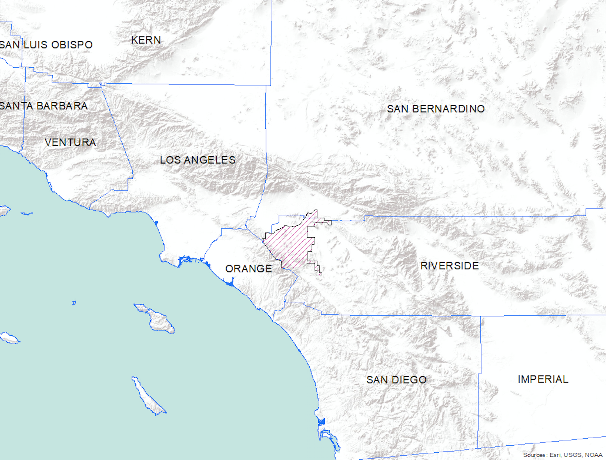
The Riverside-Corona Resource Conservation District serves the communities of Riverside, Corona, Norco, Woodcrest, Gavilan Hills, Temescal Canyon, Grand Terrace, Highgrove, and parts of Colton, Canyon Lake and Reche Canyon. The RCRCD's northwest boundary is the Santa Ana River.
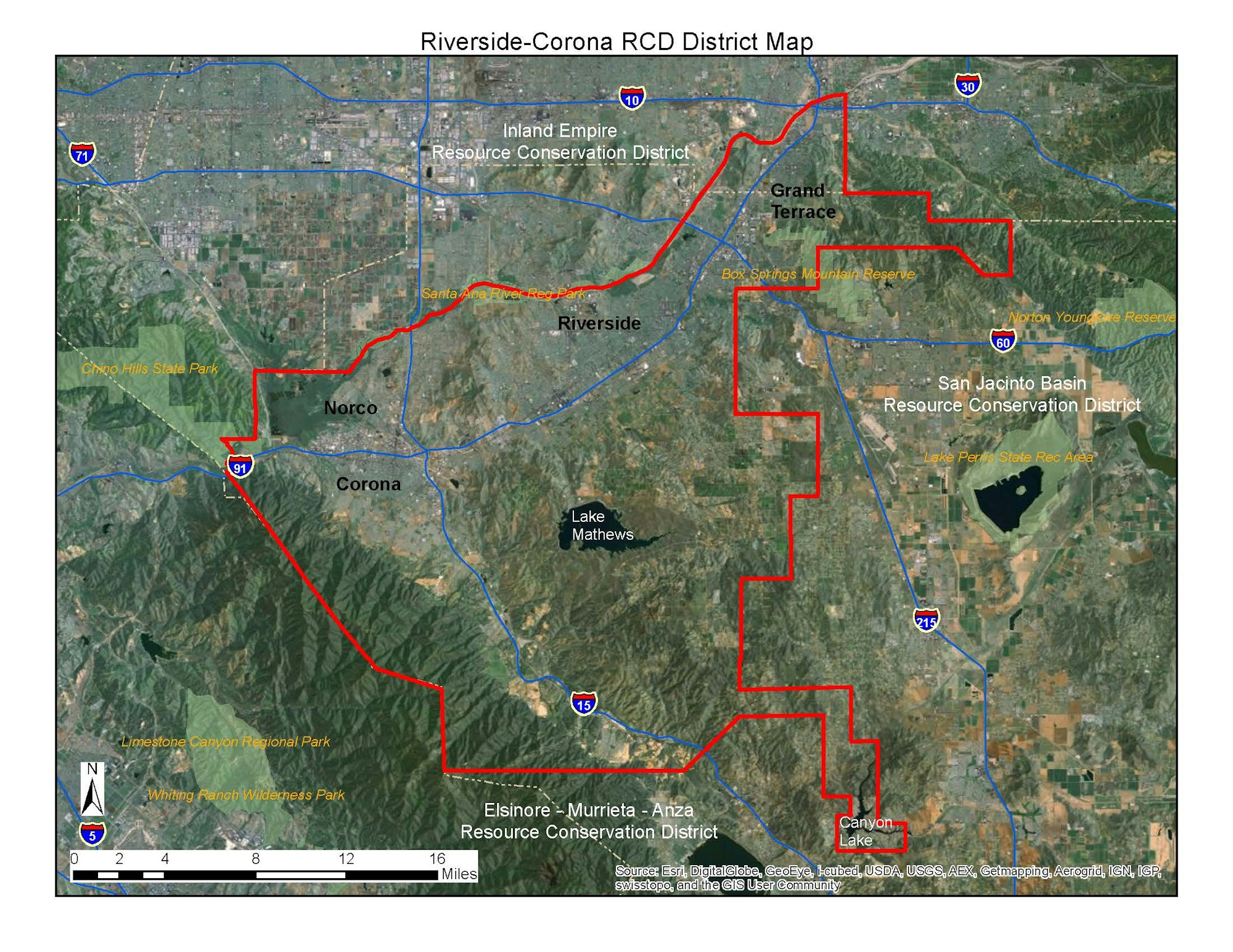
The District includes 200,000 acres, or 312 square miles of land in Western Riverside and San Bernardino Counties. Approximately 85,000 of these acres are urban areas. Principal tracts of public lands in or adjacent to the RCD include:
- The Cleveland National Forest
- Lake Mathews and the Prado Flood Control Basin, about 75,000 acres
- Riverside County Parks holdings, in excess of 6,000 acres.
Elevations range from 400 feet in the Santa Ana River Canyon to 5,000 feet in the Santa Ana Mountains.
The RCRCD lies within the Santa Ana River Watershed.
The Riverside-Corona Resource Conservation District office is located at 4500 Glenwood Drive, Building A, Riverside, CA 92501; at 14th Street and Glenwood Drive, at the base of Mt. Rubidoux.
PH: 951-683-7691
FAX: 951-683-3814